South Platte Valley Historic Park
The South Platte Valley Historic Park encompasses 100 acres along the South Platte River just northwest of the town of Fort Lupton. Included in the historic park is a visitor center, four historic structures and a large park area along the river.
Hours, admission and directions
The South Platte Valley Historic Park will be open for public walk-in visitation on the first and third weekend of each month, May to October. Visitation hours will be from 10 AM to 4 PM on each Saturday and Sunday of those weekends.
- Hours
- Saturday10 AM - 4 PM
- Sunday10 AM - 4 PM
- Admission
Visitor donations to support the society are welcome. Suggested donations are:
- Adult (13 +): $5.00
- Youth (12 and below): Free
- Where
2001 Historic Park Way, Fort Lupton, CO 80621
Northwest of the city of Fort Lupton off of Highway 85. The historical park is 1/4 mile West of Highway 85 off of County Road 14½. Turn right onto Historic Park Way.
- 9 miles west of Interstate 76 on Highway 52
- 10 miles east of Interstate 25
- 30 miles from the Denver International Airport (DIA), Denver, Boulder, and Greeley
- Less than one hours drive north of most locations in the Denver Metro area
Look at the SPVHS calendar for any specific activities or events that may be happening. Also check our Facebook page for the latest updates.
The Grounds of the Historic Park
The South Platte Valley Historic Park is dedicated to allowing the public to experience the early settlement of the west and Colorado by preserving the site and area along the South Platte River that was the location of one of the early trade forts in the west. Through this area the historic Trappers Trail ran between Fort Laramie in what is now Wyoming down to the Arkansas River and then along the Taos Trail to the then Mexican village of Taos. Come visit the South Platte Valley Historical Park to revisit the early settlement of the west.
The land consists of a large natural and camping area immediately along the river and a high bench of land where the original Fort Lancaster was located.
Lower “Rendezvous” Area
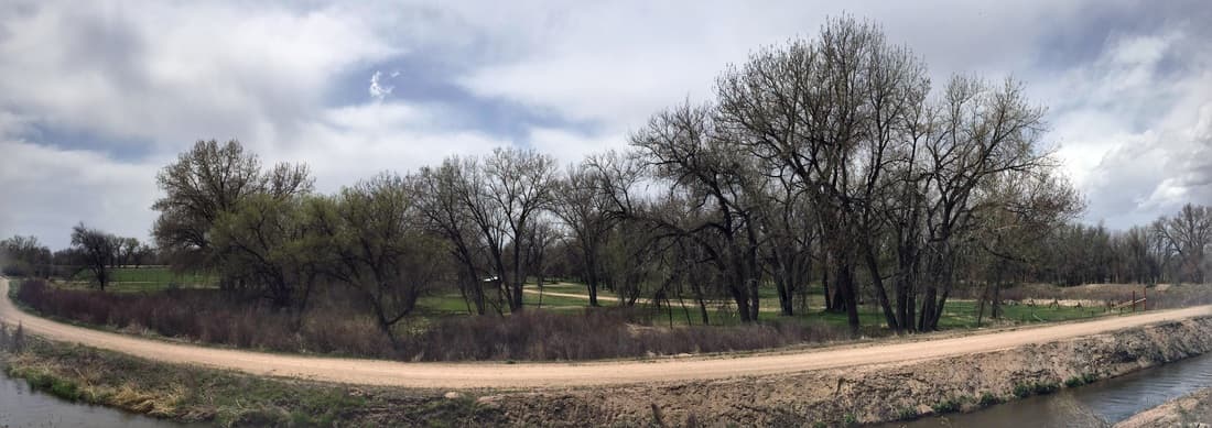
Along the river, in groves of cottonwood trees are camping areas that can be used by Boy Scout and Girl Scout troops with reservations. These camping areas are also used by the re-enactment department of the SPVHS - the Tallow River Trappers - to hold periodic rendezvous events. Immediately along the river are nature areas that are home to deer, turkey, foxes and other animals and birds. At the north end of the historic park is a muzzleloading shooting range leased by the Fort Lupton Muzzleloading Club.
The upper bench
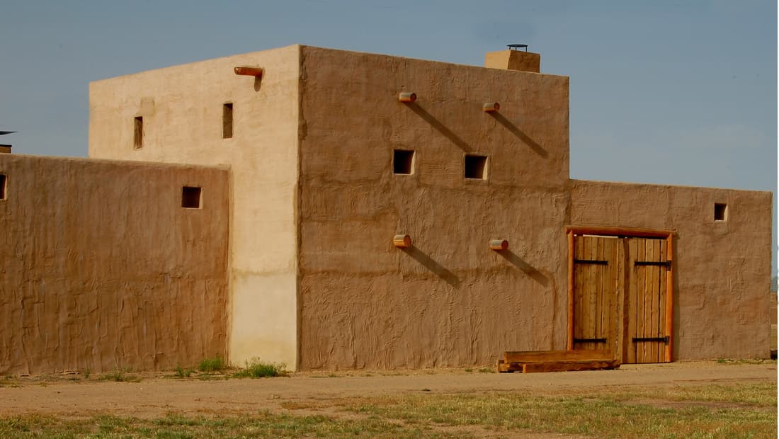
On the bench of land to the east of the rendezvous area is the location of the original Fort Lancaster and re-creation of Lupton's fort. Next to the fort are located a series of historic structures that represent a timeline for settlement in the South Platte Valley.
The grounds and the fort can be rented for private events such as Boy Scout or Girl Scout encampments or weddings or retirement parties. See Private Events.
Around the Historic Park
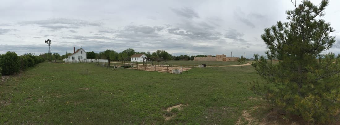
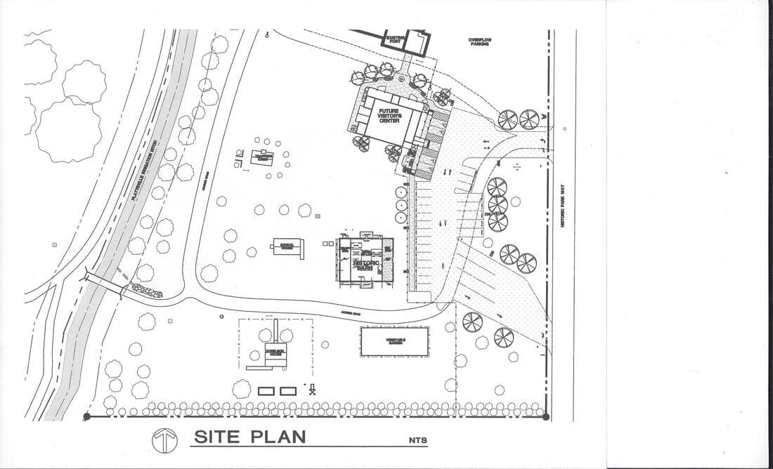
Start your tour of the historic park at the re-creation of Fort Lancaster, then move down the path. The Donelson House and the Independence School represent the settlement of the Platte Valley started by the early fur trappers and traders.
Lupton's Fort
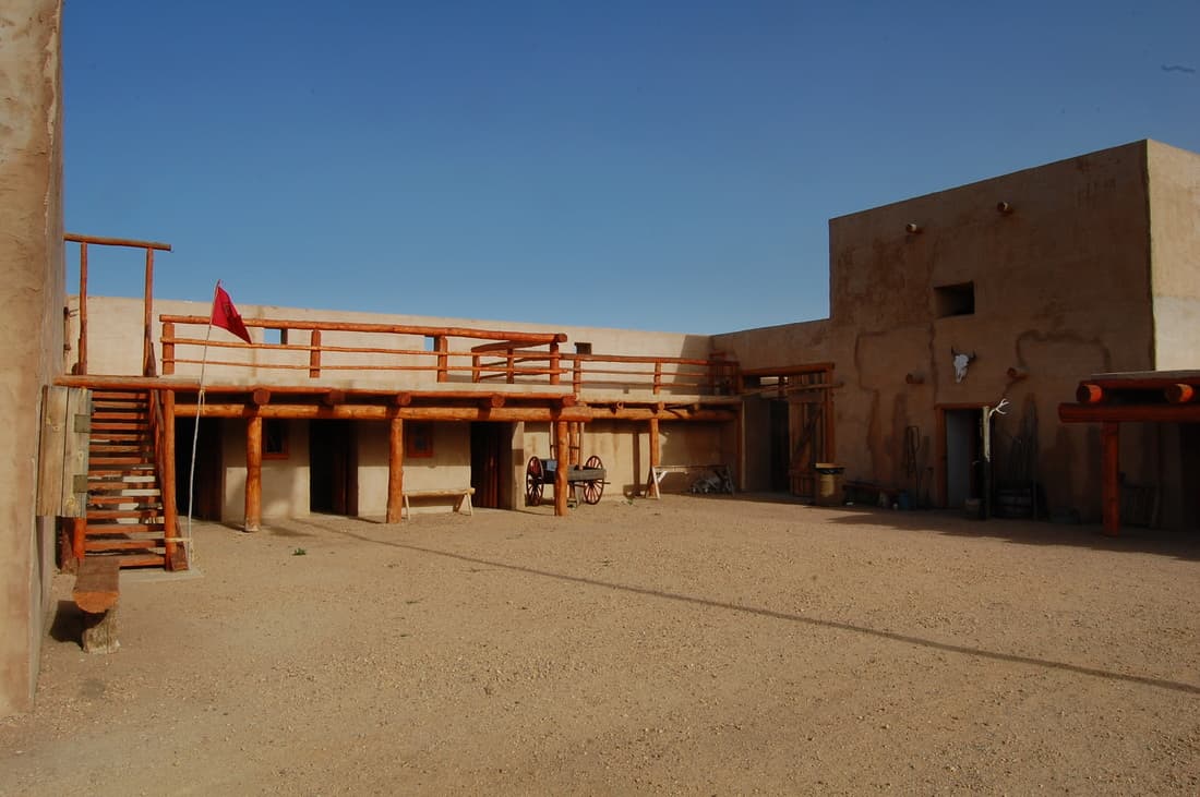
The re-creation of Fort Lancaster, which was in operation from 1836 to 1844. Walk through the inner plaza to the blacksmith and carpenter shops, living quarters, trade rooms and cantina.
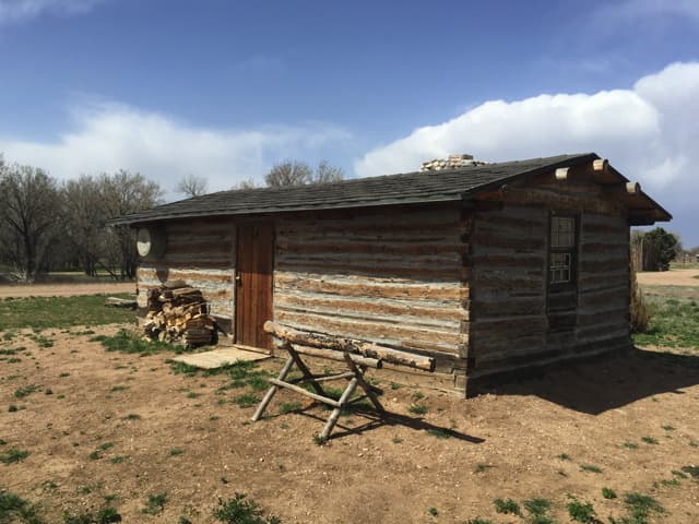
Trapper Cabin
The restored trapper cabin from the 1850's, which was originally located down along the Platte River in Adams County.
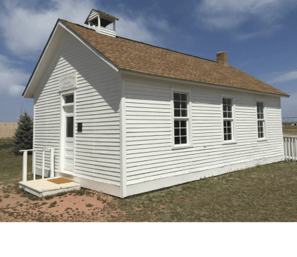
Independence School
In 1875 the Independence School was built. The Independence School was the first frame school built in this area.
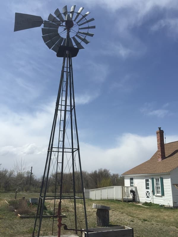
Donelson House
The Donelson homestead house built in the 1860's, restored to how it looked in 1893 with the furnishings of that time.
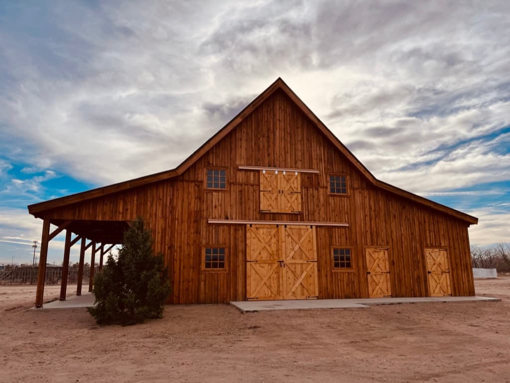
Historic Post & Beam Barn
A period style barn to complement the Donelson Farmhouse, built in the style of Weld County farm and ranch barns at the close of the 19th Century.
Find your way
Address: 2001 Historic Park Way, Fort Lupton, CO 80621. The site plan below shows the fort, the future visitor center, the trapper cabin, the school, the barn, the Donelson House, the garden and the parking.
Tours and rentals
To arrange a tour contact events@spvhs.org.